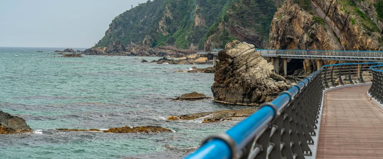
Gangneung travel courses 7
By length
Day trip 7
6–8 stops
-
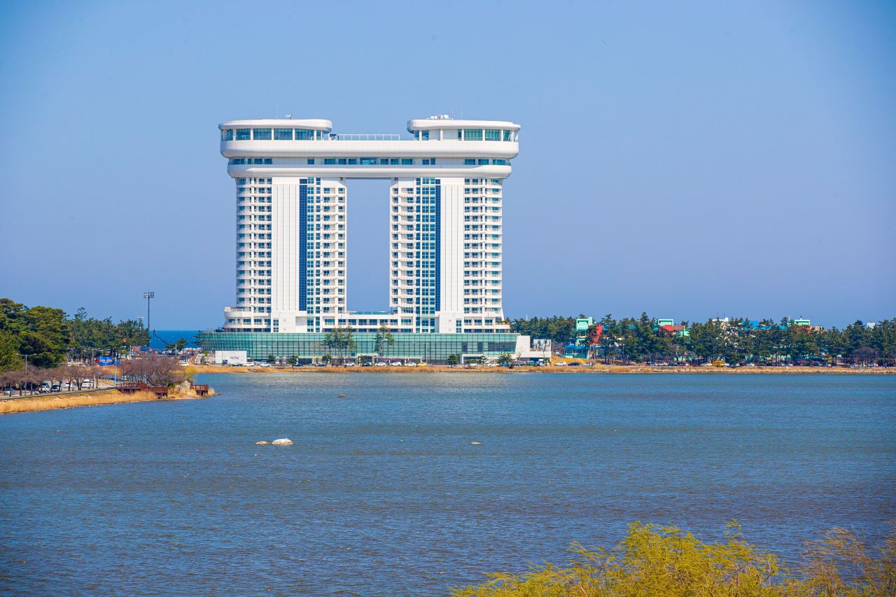
- 1Gyeongpodae PavilionStart
- 2Gyeongpo Lake (Migratory Bird Habitat)
- 3Gyeongpo Beach
- + 3 more
- 7Anmokhaebyeon BeachLast
Areas- Gyeongpo · Anmok · Chodang
- Stops
- 7
- Straight line
- 7.5 km
- Closed days
- 1 stop closed on Mondays
Source: Korea Tourism Organization TourAPIPhoto: Gyeongpodae Pavilion · Source: Korea Tourism Organization
-

- 1Gangneung Ojukheon·Municipal MuseumStart
- 2Seongyojang House
- 3Gangneunghyanggyo Local Confucian School
- + 2 more
- 6Chamsori Edison Son Seongmok Film MuseumLast
Areas- Gangneung Station · Jungang Market · Ojukheon
- Gyeongpo · Anmok · Chodang
- Stops
- 6
- Closed days
- 1 stop closed on Tuesdays
Source: Korea Tourism Organization TourAPIPhoto: Gangneung Ojukheon·Municipal Museum · Source: Korea Tourism Organization
-

- 1Haslla Art WorldStart
- 2Jeongdongjin Station
- 3Sandglass Park
- + 3 more
- 7Heonhwa-ro RoadLast
Areas- Jeongdongjin · Okgye · Heonhwaro
- Stops
- 7
- Straight line
- 6.4 km
Source: Korea Tourism Organization TourAPIPhoto: Haslla Art World · Source: Korea Tourism Organization
-
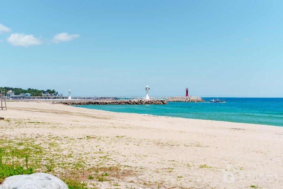
- 1Sacheon Beach (Sacheon Bathing Beach)Start
- 2Yeongok Beach (Yeongok Swimming Beach)
- 3Jumunjin Port
- + 2 more
- 6BTS Bus StopLast
Areas- Gyeongpo · Anmok · Chodang
- Jumunjin · Yeongok · Sacheon
- Stops
- 6
- Straight line
- 11.1 km
Source: Korea Tourism Organization TourAPIPhoto: Sacheon Beach (Sacheon Bathing Beach) · Source: Korea Tourism Organization
-

- 1Daegwallyeong National Natural Recreation ForestStart
- 2Daegwallyeong National Healing Forest
- 3Daegwallyeong Pine Forest Path
- + 2 more
- 6Anbandegi VillageLast
Areas- Daegwallyeong · Odaesan · Wangsan
- Jumunjin · Yeongok · Sacheon
- Stops
- 6
- Closed days
- 1 stop closed on Mondays
Source: Korea Tourism Organization TourAPIPhoto: Daegwallyeong National Natural Recreation Forest · Source: Korea Tourism Organization
-

- 1ARTE Museum Valley GangneungStart
- 2Gangneung Municipal Art Museum Sorol
- 3Gangneung Olympic Museum
- + 2 more
- 6Jumunjin Marine MuseumLast
Areas- Gyeongpo · Anmok · Chodang
- Gangneung Station · Jungang Market · Ojukheon
- Daegwallyeong · Odaesan · Wangsan
- Jumunjin · Yeongok · Sacheon
- Stops
- 6
- Straight line
- 51.7 km
- Closed days
- 2 stops closed on Mondays
Source: Korea Tourism Organization TourAPIPhoto: ARTE Museum Valley Gangneung · Source: Korea Tourism Organization
-
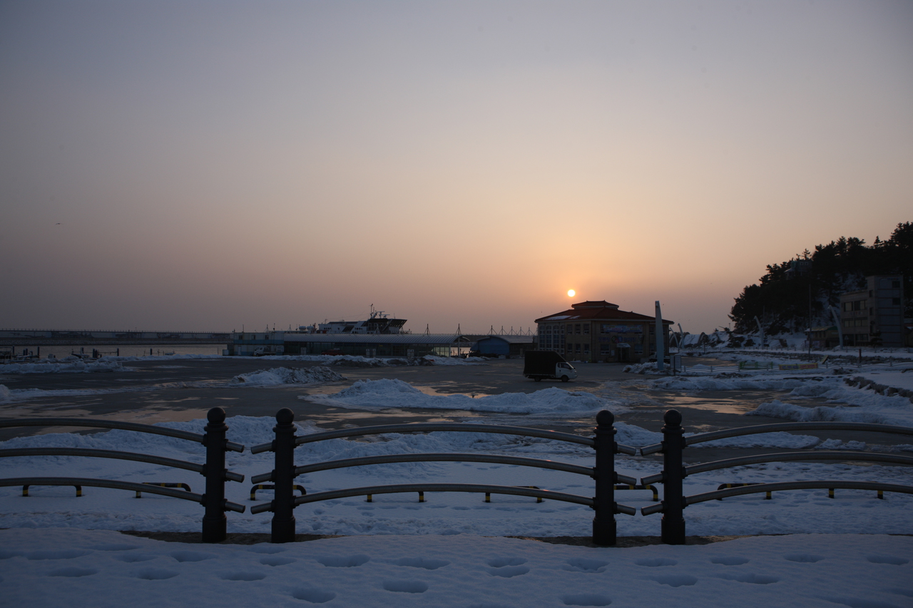
- 1Gangneung BaugilStart
- 2Anmokhaebyeon Beach
- 3Heo Gyun and Heo Nanseolheon Memorial Park
- + 4 more
- 8Jumunjin BeachLast
Areas- Gyeongpo · Anmok · Chodang
- Jumunjin · Yeongok · Sacheon
- Stops
- 8
- Closed days
- 1 stop closed on Mondays
Source: Korea Tourism OrganizationPhoto: Anmokhaebyeon Beach · Source: Korea Tourism Organization
The straight line is the sum of the straight-line distances between the stops' coordinates, given only for a course with coordinates for every leg.
Areas are this site's travel areas, taken from the stops that have a place page.
Each card's photo shows one stop of its course: the first one not already shown on an earlier card. Photos: Korea Tourism Organization · KOGL Type 1 · KOGL Type 3 (no changes allowed)